By: The History Wizard Grades 4-12
Click HERE to purchase!
Total Pages
58
Answer Key
Does Not Apply
Teaching Duration
1 Month
Updated for 2014-2015 School Year with Zip Folders!
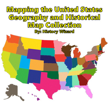
This great lesson plan collection includes 20 mapping activities covering the geography and history of the United States. Six test answer sheets are also included for the teacher to use. My students enjoy these mapping activities and have become very engaged in them. My students ask more questions in class and are better able to connect geographic and historical information. Each mapping lesson plan can take up to one class period to complete. The mapping activities can be easily modified by the teacher to work with any atlas or age level. Save yourself time and money and order this whole collection together. By ordering this lesson plan collection, you will have activities for between 17 and 30 school days depending on the grade you teach. Feel free to check the reviews of my various lesson plans on Teachers Pay Teachers. Links for free maps to be downloaded are included with each lesson plan. Here is the list of mapping activities that are included in this collection.
United States Geography Map Activities
Mapping the 50 States
Mapping the 50 Capitals
Mapping the Physical Features of the USA
Mapping the Major Cities of the USA
Mapping the Northeast
Mapping the South
Mapping the Midwest
Mapping the West
Mapping California (Political and Physical Features)
Mapping North America
Mapping Central America and the Caribbean
Mapping Canada
Mapping Mexico
Historical Maps of the United States
Create Your Own Colony Activity
Mapping the Expansion of the Continental United States
Mapping Texas( Political and Physical Features) and the Texas Revolution
Mapping the Civil War
Mapping Native American Tribes within the United States
Mapping the Transcontinental Railroad and Cattle Trails
Mapping the Russian Revolution and the Expansion of Communism
Mapping the Great Depression
Mapping the City of Jerusalem Worksheet
Map Test Answer Sheets
50 States and Capitals
Major Cities of the United States
Northeast and South
Midwest and West
Mexican Cities and Physical Features
Canada

Thanks for your interest,
The History Wizard

No comments:
Post a Comment